
The Art and Science of Low-Light Drone Operations: LiDAR or Camera?
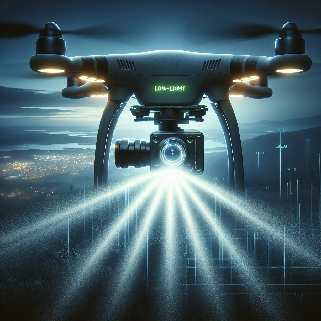
In the world of drone operations, low-light conditions present a unique set of challenges. To overcome these challenges, professionals must choose between two technologies: LiDAR or cameras. The use of LiDAR technology offers precise and accurate data collection in low-light environments, while cameras provide visual images for analysis. In this article, we will explore the art and science of low-light drone operations and delve into the benefits and limitations of both LiDAR and camera technologies. By understanding the strengths and weaknesses of each, professionals can make informed decisions and optimize their drone operations in low-light settings.
The Art and Science of Low-Light Drone Operations
Curious about your city’s darkest crime stories? Dive in here!
Introduction to low-light drone operations
Low-light drone operations refer to the use of drones in environments with limited light availability. This can include nighttime operations, as well as situations where natural or artificial light is insufficient for clear imaging or data collection. Low-light operations present unique challenges and require specialized technology and techniques to ensure accurate and reliable results.
Importance of low-light capabilities
Low-light capabilities are crucial for various industries and applications. In sectors such as public safety, search and rescue, and surveillance, the ability to operate drones in low-light conditions can provide valuable insights and assist in critical decision-making processes. Additionally, industries like construction, agriculture, and inspection rely on accurate data collection in all lighting conditions to ensure the efficiency and safety of their operations.
Challenges of low-light drone operations
Low-light drone operations come with inherent challenges. Reduced visibility and limited light availability can significantly impact the quality and accuracy of data captured by drones. Furthermore, drones must navigate complex environments, often with obstacles and uneven terrain, increasing the risk of accidents and damage. Overcoming these challenges requires advanced technology and specialized training for drone operators.
LiDAR Technology
LiDAR, short for Light Detection and Ranging, is a remote sensing technology that uses laser pulses to measure distances and create precise three-dimensional maps of the environment. LiDAR systems emit laser beams and measure the time it takes for the light to reflect back, enabling the creation of highly accurate and detailed point clouds. This technology is particularly useful in low-light environments where traditional cameras may struggle to capture clear imagery.
Advantages of LiDAR for low-light drone operations
LiDAR technology offers several advantages for low-light drone operations. Firstly, LiDAR is capable of capturing data regardless of ambient lighting conditions, making it highly reliable for mapping and surveying in low-light environments. Secondly, LiDAR provides accurate measurements and precise 3D mapping, allowing for detailed analysis and modeling. Lastly, LiDAR data can be easily processed and analyzed using specialized software, enabling efficient data utilization.
Limitations of LiDAR in low-light environments
While LiDAR technology excels in low-light conditions, it does have a few limitations. LiDAR systems can be expensive to acquire and maintain, making them less accessible for smaller operations or organizations with limited budgets. Additionally, LiDAR data processing requires specialized software and expertise, adding to the overall cost and complexity. Furthermore, LiDAR may struggle to capture color information accurately, which can be important in certain applications.
Camera Technology
Camera technology for low-light drone operations involves the use of specialized cameras equipped with sensors capable of capturing high-quality images in challenging lighting conditions. These cameras often employ advanced techniques such as low-light sensitivity, noise reduction, and image stabilization to ensure clear and accurate imaging.
Advantages of cameras for low-light drone operations
Cameras offer several advantages for low-light drone operations. They are generally more affordable and accessible compared to LiDAR systems, making them a popular choice for many applications. Additionally, cameras can provide detailed visual information, including color and texture, which can be important for certain industries such as architecture, inspection, and cinematography. Cameras also allow for real-time monitoring and live streaming, enhancing situational awareness during low-light operations.
Limitations of cameras in low-light environments
While cameras have their advantages, they also have limitations when it comes to low-light environments. Cameras may struggle to capture clear and sharp images in low-light conditions, leading to grainy or blurry footage. Additionally, cameras may be affected by noise and artifacts, reducing the overall quality of the captured imagery. However, advancements in camera sensor technology and image processing algorithms have improved low-light performance in recent years.
Comparison of LiDAR and Camera
When considering low-light drone operations, it is essential to understand the differences between LiDAR and camera technology and how they impact data collection and analysis.
Ability to capture accurate data
LiDAR technology excels in capturing accurate measurements and creating precise 3D maps of the environment. It provides highly detailed and reliable data, regardless of lighting conditions. On the other hand, cameras may struggle to capture clear and accurate images in low-light environments, particularly when ambient light is limited.
Cost considerations
LiDAR systems tend to be more expensive compared to cameras, with higher upfront costs and ongoing maintenance expenses. Cameras, on the other hand, are generally more affordable and accessible, making them a cost-effective option for many operations.
Operational ease and efficiency
LiDAR systems require specialized training and expertise to operate effectively. Data processing and analysis can also be complex and time-consuming. Cameras, on the other hand, are relatively easy to operate and offer real-time monitoring capabilities. The processing and analysis of camera data are also more straightforward and require less specialized software.
Data processing and analysis
LiDAR data processing and analysis often require specialized software and expertise. However, LiDAR data can provide highly accurate and detailed information for advanced analysis and modeling. Camera data processing and analysis are generally more straightforward, but the accuracy and detail may be limited compared to LiDAR.
Best Practices for Low-Light Drone Operations
To ensure successful low-light drone operations, it is important to follow best practices and utilize appropriate techniques and equipment. Here are some key considerations:
Choosing the right equipment
Selecting the right equipment is crucial for low-light drone operations. Consider factors such as low-light sensitivity, image stabilization, noise reduction capabilities, and camera or LiDAR specifications that suit your specific application needs.
Setting optimal exposure settings
Understanding exposure settings such as ISO, aperture, and shutter speed is essential for capturing clear and well-exposed images in low-light conditions. Experimenting with different exposure settings and understanding their impact on image quality is important for achieving optimal results.
Using supplemental lighting
In situations where natural or existing artificial light is insufficient, using supplemental lighting such as external LED lights or infrared illuminators can enhance visibility and image quality. Careful positioning and adjustment of supplemental lighting are necessary to prevent glare and unwanted reflections.
Image post-processing techniques
Applying image post-processing techniques can significantly enhance the quality and clarity of low-light imagery. Noise reduction, contrast adjustment, and sharpening filters are examples of post-processing techniques that can improve the overall visual quality.
Utilizing intelligent flight modes
Modern drones often come equipped with intelligent flight modes such as waypoint navigation, orbit mode, and active track. Utilizing these features can assist in capturing accurate and consistent data, particularly in low-light environments where manual control may be challenging.
Ensuring safety measures
Operating drones in low-light conditions can be more challenging and risky. It is crucial to ensure that all necessary safety measures are in place, including obstacle avoidance systems, redundancy in equipment, and compliance with local regulations and airspace rules.
Case Studies of Low-Light Drone Operations
To illustrate the practical applications and benefits of low-light drone operations, here are a few case studies:
Using LiDAR for nighttime mapping and surveying
LiDAR technology has been successfully utilized for mapping and surveying in low-light environments. By capturing accurate and detailed data, LiDAR enables the creation of highly precise elevation models, identification of features, and monitoring of changes over time.
Using cameras for low-light inspections
Cameras equipped with low-light sensitivity and advanced image processing capabilities have been employed for various inspection tasks. From infrastructure inspections to asset surveillance, cameras provide valuable visual information that aids in accurate and efficient assessments.
Integrating LiDAR and cameras for comprehensive data collection
In some cases, the integration of LiDAR and cameras can provide a comprehensive and accurate data collection solution. LiDAR provides precise spatial information, while cameras capture visual details and textures. The combination of these two technologies allows for a more comprehensive analysis and understanding of the environment.
Future Developments in Low-Light Drone Operations
The field of low-light drone operations is constantly evolving, driven by advancements in technology and industry needs. Here are some key areas of future development:
Advancements in LiDAR technology
LiDAR technology is expected to continue improving in terms of accuracy, range, and affordability. Ongoing research and development efforts aim to enhance the performance and accessibility of LiDAR systems, making them more suitable for various applications.
Improvements in camera sensors and image processing
Camera technology will likely see improvements in low-light sensitivity, dynamic range, and noise reduction capabilities. Advances in sensor technology and image processing algorithms will continue to enhance the performance of cameras in low-light environments.
Integration of AI and machine learning
Artificial intelligence (AI) and machine learning algorithms have the potential to revolutionize low-light drone operations. These technologies can enable automated data analysis, real-time decision-making, and enhanced object detection and classification capabilities.
Regulatory considerations for low-light operations
As low-light drone operations become more prevalent, regulatory frameworks may need to be updated to address safety and privacy concerns. New guidelines and standards may be established to ensure the responsible and ethical use of drones in low-light environments.
Delve deep into your city’s gritty crime tales; click now!
Conclusion
Low-light drone operations present unique challenges and require specialized technology and techniques for accurate and reliable data collection. LiDAR and camera technologies offer distinct advantages and limitations in low-light environments, and the choice between them depends on specific application requirements and budget constraints. By following best practices and staying informed about advancements in technology, operators can optimize low-light drone operations and unlock new opportunities for various industries. The future of low-light drone operations holds promise, with ongoing advancements and innovative applications on the horizon. By staying updated on the latest developments and embracing the right technology, organizations can leverage the art and science of low-light drone operations to drive their success.
References
- DRONELIFE
- UAV ETF DroneRacingLife DroneFlyers Newsletter UAV ETF DroneRacingLife DroneFlyers Newsletter News Products Industries Agriculture Construction Delivery Dual Use Inspection Public Safety Surveying Enthusiasts Regulations Business Video Podcasts
Eager to uncover your city’s sinister side? Explore the latest crime news here!
I'm Jesse, a retired Infantry Paratrooper and I am the mind behind Grimy Times - your portal to the darkest, grittiest news stories spanning the globe. I bring you the most unearthed stories, guaranteeing authenticity without sugarcoating. From shadowy urban alleys to the most remote corners of our planet, my coverage knows no bounds.